

Nigerian Charts Enhance Safe Navigation to Calabar and Bakassi Deep Seaport

The Nigerian Hydrographic Agency (NHA) has released new electronic nautical charts to improve safe navigation to Calabar and Bakassi Deep Seaport. Rear Admiral Ayo Olugbode highlighted the importance of accurate hydrographic services for maritime safety and unlocking Nigeria's blue economy potential.
The charts provide detailed navigational coverage, aiding in safe passage and harbor facility design. The initiative aims to strengthen the nation's maritime safety architecture and advance the blue economy agenda.
Plus234Feed summary based on reporting from This Day. Read the original report below.
Read full article
Continue on This Day
Get the week in one email
Top stories, NPFL results, the naira — every Friday morning. Free, one email a week.
Related Stories
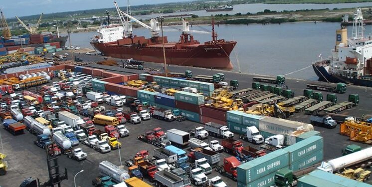
Lekki Deep Sea Port Surpasses Tin Can Island in Nigeria's Trade Rankings

Nigeria Approves $1 Billion Port Modernization Project Led by Gilbert Chagouri's ITB Nigeria
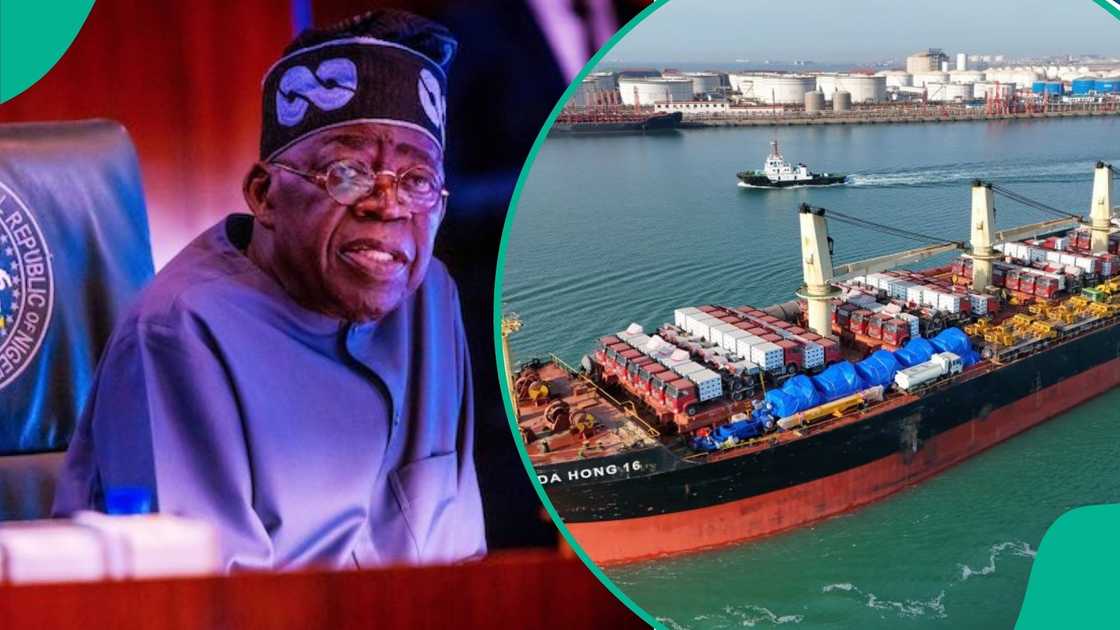
FEC Approves $4.29bn Projects for Bakassi and Ondo Seaports in Nigeria
Nigeria Enters Regional Transshipment Market with Lekki Port Expansion

Nigeria Calls for African Ports Cooperation to Boost Blue Economy
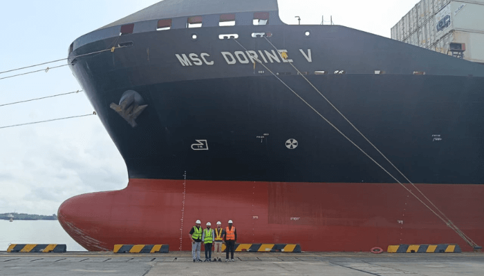
New China-Nigeria Shipping Route Promises Faster, Cheaper Supply Chain
Get Plus234Feed on messaging apps
Same headlines, delivered where you already scroll.


